Utah Elevations
Nestled in the heart of the American West is Utah, a land that has different elevations, hence the diverse landscapes the state is capable of containing. Its topography would run from towering mountains and very large plateaus to very deep canyons and sprawling deserts. This diversity in elevation not only creates breathtaking sceneries but also offers a rich variety of recreational activities for adventurers and nature lovers alike. At Utah Guide, we have compiled a comprehensive guide to Utah's elevations that will help you explore and understand this beautiful state in all its glory.
The Varied ElevationS of Utah
Utah's unique geography is largely defined by its varied elevations, which range from 2,000 feet in the southwestern deserts to over 13,000 feet in the northern mountains. The most defining feature of Utah is the Wasatch Range, a large mountain range extending from northern to central parts of the state. It is home to Kings Peak in the Uinta Mountains, which is the highest point in the Wasatch Mountains and the entire state at 13,528 feet. This peak provides a challenging yet rewarding climb for intrepid hikers and mountaineers.
By comparison with the high mountains, the Great Salt Lake Desert is quite low. The Bonneville Salt Flats lie at an elevation of about 4,200 feet above sea level. This very flat, alien-looking landscape is extremely famous for its lack of topography and hosts many speed racing events due to its surface of compacted salt.

Recreational Opportunities
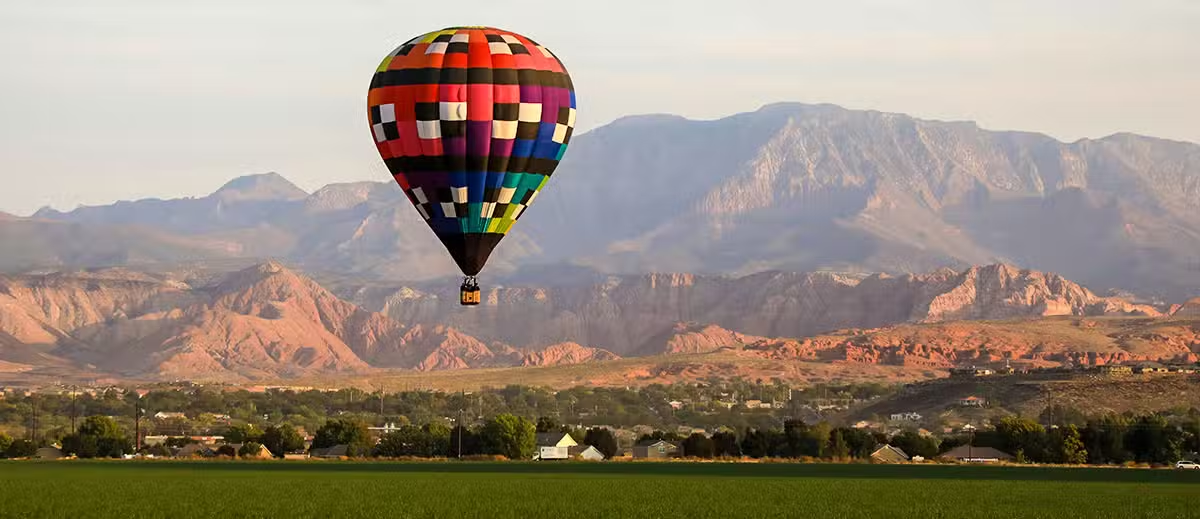
Such variations of elevations go a great degree in making Utah an outdoorsman's dream. Not only does the state support a wide variation in terms of elevation and climate but also a plethora of recreational activities. Skiing, snowboarding, and snowshoeing are some popular winter sports to be undertaken from high points during peak winter, as in the cases of the Wasatch and Uinta Mountains. The mountains form perfect avenues for hiking, rock climbing, and mountain biking in summer.
The middle elevation of Utah is home to several national parks, including Zion, Bryce Canyon, and Arches. These parks offer spectacular red rock formations, natural arches, and deep canyons. The elevated areas are ideal for hiking, camping, and viewing wild animals, with cooler temperatures and a lush landscape.
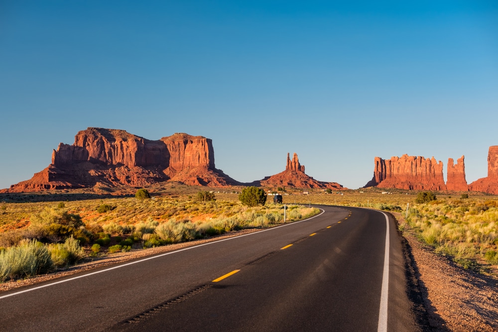
Down in the lower elevations, especially in the southern deserts, one can visit the stark beauty of places like Monument Valley and the Valley of the Gods. These areas offer opportunities for off-road adventures, photography, and stargazing. The unique combination of clear skies and low light pollution makes Utah's deserts some of the best places in the world for observing the night sky.
Impact on Climate
The elevations around Utah are very important in its climate. The higher elevations are much colder and receive more precipitation than the lower desert areas. Because of this, there can be large variations in a very short distance, adding to Utah's unique environmental tapestry.
In the mountains, winters are heavy with snow to feed the state's rivers and reservoirs, while summers are cool and pleasant. In dramatic contrast, the lower elevations are hot and dry in summer and mild in winter. This diversity of climates supports everything from alpine meadows and coniferous forests to desert shrubs and cacti.
High And Low Elevation Cities - Towns
Utah’s varied topography includes both low-lying desert areas and high-altitude mountain communities. Below is a list of incorporated cities or towns in Utah with elevations below 4,000 feet or above 8,000 feet, along with their exact elevations, based on available data. Elevations are sourced from reliable references, primarily USGS data and other topographic sources, and are provided in feet above sea level.
Cities or Towns Below 4,000 Feet Elevation
These are primarily located in the southwestern part of Utah, near the state’s lowest point at Beaver Dam Wash (approximately 2,178 feet).
- Santa Clara: 2,762 feet
- Located in Washington County, near the Virgin River, this town is one of Utah’s lowest incorporated communities.
- St. George: 2,800 feet
- A major city in Washington County, situated in the Mojave Desert region, known for its warm climate.
- Washington: 2,792 feet
- Also in Washington County, close to St. George, with a similar low-elevation desert environment.
- Hurricane: 3,248 feet
- In Washington County, slightly higher but still below 4,000 feet, near the Virgin River.
- Ivins: 3,078 feet
- Another Washington County town, located near Santa Clara and St. George.
- La Verkin: 3,192 feet
- In Washington County, close to Hurricane, with a low-elevation desert setting.
Cities or Towns Above 8,000 Feet Elevation
These are high-altitude communities, primarily in the Rocky Mountains or Wasatch Range, often associated with ski resorts or mountain recreation.
- Brian Head: 9,800 feet
- In Iron County, this is Utah’s highest incorporated town, home to Brian Head Ski Resort, with a population of approximately 100.
- Alta: 8,560 feet
- In Salt Lake County, a small town in Little Cottonwood Canyon, known for its ski resorts and high snowfall.
- Brighton: 8,707 feet
- Also in Salt Lake County, located in Big Cottonwood Canyon, another ski-summer mountain activity-centric community.
Notes
- Source Details: Elevations are drawn from USGS topographic data, Utah Geological Survey, and other reliable sources.
- Exclusions: Unincorporated areas or census-designated places (e.g., Beaver Dam Wash, at ~2,178 feet, is not an incorporated town) are excluded, as the query specifies cities or towns. Only incorporated municipalities are listed.
- Accuracy: Elevations are approximate, as minor variations can occur due to measurement differences or specific points within a town.
- Limitations: Few Utah towns exist above 8,000 feet due to the harsh climate and terrain, and most low-elevation towns are clustered in the southwest.
Elevation misperceptions - Salt Lake City Higher than provo

The misperception that Provo, Utah, is lower in elevation than Salt Lake City likely stems from a combination of geographical assumptions.
Actual Elevations
- Salt Lake City: The average elevation is approximately 4,226 feet above sea level, based on USGS data and the city’s position near the Great Salt Lake, which sits at about 4,200 feet.
- Provo: The average elevation is approximately 4,551 feet, about 325 feet higher than Salt Lake City, as Provo is situated closer to the Wasatch Mountains and Utah Lake.
Sources of the Misperception
- Geographical Assumptions and Travel Direction:
- Many people associate “north” with “higher elevation” due to general trends in topography (e.g., northern Utah has higher mountains like the Bear River Range). Since Salt Lake City is north of Provo, some assume it’s higher.
- When driving from Provo to Salt Lake City along I-15, the route feels relatively flat or slightly downhill, reinforcing the idea that Provo is lower. However, the elevation difference is gradual and not visually dramatic.
- Proximity to Water Bodies:
- Provo is near Utah Lake (elevation ~4,489 feet), while Salt Lake City is near the Great Salt Lake (~4,200 feet). Utah Lake’s higher elevation is less well-known, and people may assume lakes are at similar or lower elevations, leading to the belief that Provo is lower.
- The Great Salt Lake’s prominence and its status as one of the lowest points in Utah may exaggerate the perception that Salt Lake City itself is at a lower elevation.
- Cultural and Historical Context:
- Salt Lake City, as Utah’s capital and largest city, is often described as the central hub of the state, which might subconsciously lead people to think of it as “higher” in importance and elevation.
- Provo’s association with Utah Valley and its agricultural history might contribute to a perception of it as a “lowland” area, despite its higher elevation.
- Lack of Awareness of Precise Elevations:
- Most residents or visitors don’t actively compare elevations (4,551 vs. 4,226 feet). The difference of ~325 feet is subtle and not noticeable in daily life, so assumptions based on other cues persist.
Clarifying the Reality
- Topography: Provo sits at the base of the Wasatch Front, slightly higher up the slope of the mountain range than Salt Lake City, which is closer to the Great Salt Lake’s lower basin. The Wasatch Range’s gradual slope northward contributes to this elevation difference.
- River Flow: The Provo River (flowing from the Uinta Mountains, elevation > 9,000 feet, to Utah Lake, ~4,489 feet) and the Jordan River (flowing from Utah Lake to the Great Salt Lake, ~4,200 feet) highlight the elevation drop from Provo to Salt Lake City. This northward flow of the Jordan River supports the fact that Provo is higher.
CONCLUSION
The elevations of Utah paint a landscape of contrasts and beauty, offering something for everyone-from the towering peaks of the Wasatch Range to the expansive emptiness of the Great Salt Lake Desert. Whether seeking adventure or tranquility, Utah's elevations provide a backdrop that is as inviting as it is inspiring. If you want to see unique geographical wonders, Utah is a place that stands out in the West American region for its promise of not just sights but experiences, too. At Utah Guide, we're committed to helping you find your way and make the most of it in this remarkable state.